
 Australia
  Brazil
  Chile
Chile  China
China  Columbia
  Denmark
  Egypt
Egypt  France
  India
India  Indonesia
  Ireland
  Italy
Italy  Malaysia
  New Zealand
  Norway
  Panama
  Peru
Peru  Poland
  Portugal
  Saudi Arabia
  Singapore
  Spain
Spain  South Korea
  Sweden
  Taiwan
  Thailand
  Türkiye
  United Kingdom
  United States
  Vietnam
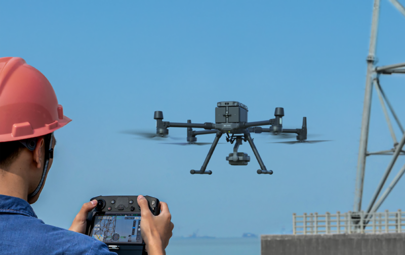
 At SYSTRA Canada, the drone is an essential tool for territory analysis, mapping, and infrastructure inspection.
Digitizing the physical world using drones and other technologies can help to improve safety, efficiency, and cost effectiveness by providing detailed data to support decision making and by reducing the need for human inspections.

A drone improves access to hard-to-reach areas, provides detailed data to support decision making, planning, or management of construction projects, allows for better understanding and management of physical assets and infrastructure, and can support the creation of smart cities.
Our professionals use specialized software to quickly extract data in 2D or 3D, thus allowing better management of resources and facilitating decision-making.
You can learn more about our drone expertise by consulting our virtual brochure.

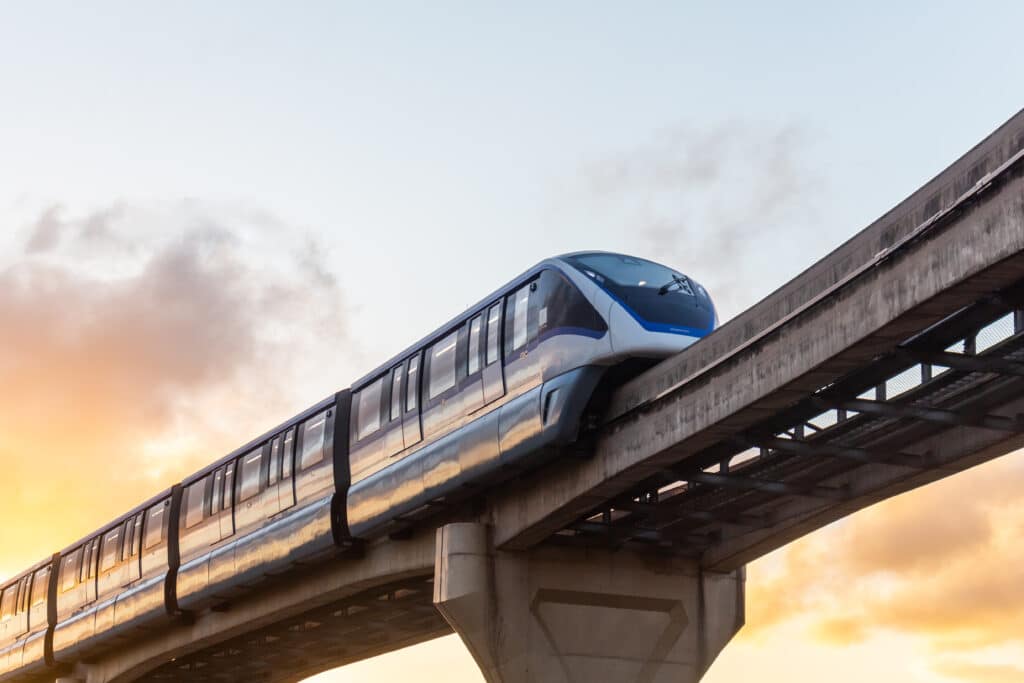
DRONES IN RAILWAYs
inspection
Drones equipped with cameras and sensors can be used to inspect tracks, bridges, tunnels, and other infrastructure for signs of wear and tear, damage, and other issues. This can help to identify potential problems before they lead to disruptions or failures.
SITE surveying
Drones can be used to survey railway corridors, rights-of-way, and other areas to create detailed maps and 3D models. This information can be used to plan new railway lines, identify potential obstacles, and optimize operations.
safety
Drones can be used to monitor railway operations and ensure that they are being conducted safely. For example, drones equipped with thermal cameras can detect heat sources that may indicate a problem with a train or track.
maintenance
Drones can be used to inspect railway equipment such as signals and switching systems, and to perform maintenance tasks such as painting and cleaning.
EMERGENCY RESPONSE
Drones can be used in emergency situations such as accidents and natural disasters to assess the damage and guide response teams to the affected areas.

DRONES IN CONSTRUCTION
Inspection: Drones can be used to inspect buildings, bridges, and other structures under construction, during the maintenance and after construction to check for any defects, wear and tear, and damage.
Site Surveying: Drones equipped with cameras, sensors, and LiDAR can be used to create detailed maps, 3D models, and digital elevation models of construction sites. This information can be used to plan and design projects, identify potential obstacles, and monitor progress.
Progress Monitoring: Drones can be used to take aerial photographs and videos of construction sites, providing a visual record of progress, and enabling the contractor and client to monitor the work remotely.
Stockpile Management: Drones equipped with sensors can be used to measure the volume of materials such as soil, gravel, and aggregate on a construction site.

DRONES for asset management
Inspection: Drones equipped with cameras and sensors can be used to inspect large and hard-to-reach assets such as buildings, bridges, and industrial equipment. This allows for the identification of issues such as wear and tear, damage, and other problems that may require maintenance or repairs.
Site Surveying: Drones can be used to survey large areas to create detailed maps and 3D models of assets. This information can be used to plan maintenance and repairs, and to optimize operations.
Security: Drones can be used to monitor assets and ensure that they are secure. For example, a drone equipped with a thermal camera can detect heat sources that may indicate a problem with a building or industrial equipment.
Maintenance: Drones can be used to perform routine maintenance tasks such as cleaning and painting, as well as more complex tasks such as equipment inspections.
Stockpile Management: Drones equipped with cameras and sensors can be used to measure the volume of stockpiles of materials such as coal, gravel, and minerals. This can help to optimize inventory and reduce waste.
DRONES for progress reporting
Site Inspection: Drones can be used to inspect the site and report on the progress of construction work. They can provide high-resolution images and videos of the site, which can be used to identify issues and report on progress.
Site Mapping and Surveying: Drones equipped with cameras and sensors can be used to create detailed maps and 3D models of construction sites. This information can be used to track progress, identify potential issues, and plan future work.
Time-lapse photography: Drones can be used to capture time-lapse images of a construction site. These images can be combined to create a video that shows the progress of the work over time.
Volume calculation: Drones equipped with cameras and sensors can be used to calculate the volume of earthworks, excavation, and filling.
Quality control: Drones can be used to inspect the quality of construction work and report on any issues that may need to be addressed.


DRONES for digitizing the physical world
Drones are used for digitizing the physical world by capturing images, videos, and other data that can be used to create detailed 3D models and digital representations of physical assets, environments, and infrastructure. This process is called digital twinning and it’s important for a variety of reasons:
Asset management: Digital twins can be used to track the condition, performance, and maintenance needs of physical assets, such as buildings, bridges, and industrial equipment. This can help to optimize operations and reduce costs.
Planning and simulation: Digital twins can be used to simulate different scenarios and plan for future changes, such as new construction or changes in infrastructure. This can help to identify potential issues and improve decision-making.
Maintenance and repairs: Digital twins can be used to plan maintenance and repairs, and to track the progress of these activities.
Safety: Digital twins can be used to monitor the safety of physical assets, such as identifying potential hazards or detecting signs of wear and tear.
Smart cities: Digital twins can be used to create digital representations of cities, which can be used to optimize transportation, energy, and other urban services.
Benefits
Drones can be used to create digital twins by capturing images and data of physical assets and environments, such as buildings, infrastructure, and industrial equipment. The data collected by the drones can then be used to create a 3D model or digital representation of the asset, which can be used for a variety of purposes, such as asset management, maintenance planning, and simulation.
This can be done by using photogrammetry, LiDAR, and other sensors, which can be mounted on the drones to capture high-resolution images, videos, and other data. Additionally, the digital twin can be updated regularly using data collected by drones to reflect the current state of the asset, providing an up-to-date view of its condition and performance.
Want to know more?

Stephan Krajicek
Team Leader, Mechanical Projects
Rolling Stock
OUR RELATED EXPERTS’ INSIGHTS ARTICLES

- Experts' Insights
Stephan KRAJICEK, Reza SAREMI, Fernando SEGURA
Drones #1: Revolutionizing Construction – The Power of Drones
Read more
- Experts' Insights
Stephan KRAJICEK, Reza SAREMI, Fernando SEGURA
Drones #2: Revolutionizing Railways – How Drones are Transforming the Railway Industry
Read more
- Experts' Insights
Stephan KRAJICEK, Reza SAREMI, Fernando SEGURA
Drones #3: Exploring the Depths – Underwater Drones Revolutionizing Civil Engineering
Read more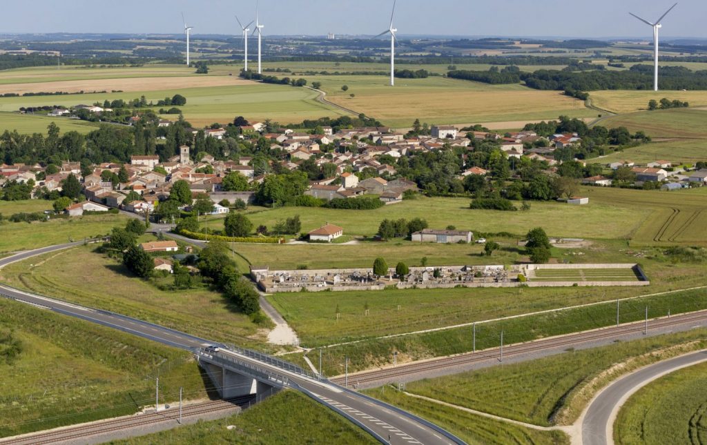
- Experts' Insights
Stephan KRAJICEK, Reza SAREMI, Fernando SEGURA
Drones #4: Unveiling the Environmental Assessment Revolution
Read more
- Experts' Insights
Stephan KRAJICEK
Drones #5: Efficiently Managing Drone Data: Unlocking the Power of Aerial Insights
Read more
- Experts' Insights
Stephan KRAJICEK