

 Australia
  Brazil
  Chile
Chile  China
China  Columbia
  Denmark
  Egypt
Egypt  France
  India
India  Indonesia
  Ireland
  Italy
Italy  Malaysia
  New Zealand
  Norway
  Panama
  Peru
Peru  Poland
  Portugal
  Saudi Arabia
  Singapore
  Spain
Spain  South Korea
  Sweden
  Taiwan
  Thailand
  Türkiye
  United Kingdom
  United States
  Vietnam
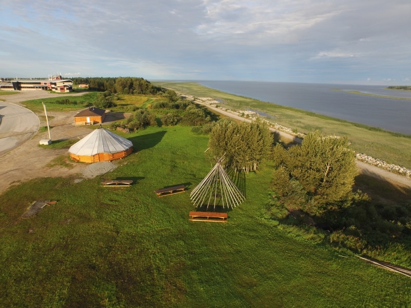
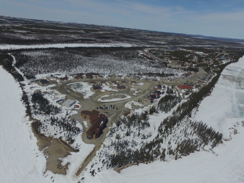
 In the context of the Memorandum of Understanding on the Cree-Quebec Sustainable Infrastructure Program, signed by the Cree Nation Government and the Government of Quebec, otherwise known as La Grande Alliance (LGA), SYSTRA Canada conducted feasibility studies for Phase I of the proposed transportation infrastructures in southern Eeyou Istchee-James Bay Region.
The mandate consisted of a market study (Phases I, II and III), a technical study, a social and environmental study, liaison with Cree communities, an economic, financial and risk study, and a study of the social and economic benefits and impacts of infrastructures on the Cree communities.
The following transportation infrastructure components (Phase I) were studied for all mandate elements (re: map below):
- Road network: (1) Upgrades to the access roads linking the Cree communities of Waskaganish (107 km) , Eastmain (103 km), Wemindji (96 km) and Nemaska (10 km), new access road to Mistissini (45 km); (2) upgrade of the Route du Nord (406 km) and of the southern section of the Billy-Diamond Highway (257 km).
- Railway network: (3) A new railway line following the Billy-Diamond Highway between Matagami and Rupert River (257 km); (4) The recommissioning of the railway line between Grevet (Lebel-sur-Quévillon) and Chapais (164 km); five transshipment areas and five passenger stations.
- Aerial network: (4) Mistissini airport study.
Market and Cree local community aspects of the mandate also concerned transportation infrastructures included in phases II and III:
- Road network: (6) new road up to Whapmagoostui (207 km); (7) improvement and extension of Route 167 (510 km).
- Railway network: (5-8) new railway line between Rupert River and Whapmagoostui (559 km).
- Water transportation network: (9) new harbour in Whapmagoostui.
SYSTRA Canada essentially provided services related to the market study, the railway technical feasibility, the liaison with Cree communities, the economic assessment, and Cree local communities.
Market study: Background research, analysis and history of land use, population, economic activity, road, rail water and air transportation networks, traffic analysis, institutional framework, population forecasts, economic development projects; identification of potential users, survey with shippers, carriers and economic development officers; detailed analysis of forest, mining, hydroelectricity, construction, and good supply sectors; traffic forecasts and assignments for freight, passengers and vehicles on road and railway segments; determination of price rates; revenue forecasts.
Railway technical feasibility study: History and inspection of the railway line between Grevet (Lebel-sur-Quévillon) and Chapais; for this line and a new railway line along the Billy-Diamond Highway: site visits, topographic survey, analysis of environmental issues, integration of the knowledge of Cree land users; alignment optimization, design criteria, 3D modelling; analysis and design of embankment and earthworks, track, structures, sidings, passenger stations, shipping yards; operating plan, rolling sock requirements, needs in buildings and equipment; maintenance strategy; staffing requirements; assessment of technological choices for battery or electric trains; study of the relocation of forestry trail (84 km) and a snowmobile trail (93 km); assessment of the condition of the Canadian National railway line and updating/upgrading requirements; study of Waswanipi serving options (alignment deviation, spur, trucking and transshipment); CAPEX, sustaining capital, OPRX estimates; timeline.
Liaison with local communities: management of communications with local information officers in Cree and Jamesian communities; interaction with liaison officers between the professional teams and the stakeholders and populations; identification of leaders and managers; presentations and discussions with local authorities and populations as well as with regional and governmental agencies; presentations and focus groups with land users, tallymen, students, youth, women, etc.
Economic, financial and risk study: economic and financial modelling, capital cost estimates (±35 %), operating and maintenance cost estimates; cost benefit analysis; project economic impact assessment. evaluation of wider economic benefits, employment opportunity analysis, training requirements; financial analysis; financing strategies; sensitivity analysis; risk analysis, risk mitigation strategy, Monte Carlo simulation, risk reserve assessment, contingency strategy.
Cree community social and economic benefit and impact study: For each of the ten Cree communities: demographic and socioeconomic indicators; focus groups and workshops with local representatives and local economic development officers, inclusion of local concerns and hopes, description of local economies, identification of development projects and potentials, economic diversification, entrepreneurship, supply chains; impacts of LGA proposed transportation infrastructure construction and maintenance on direct and indirect jobs, economic diversification, long-term sustainable development and standard of living; directions to preserve and afford land-based economy, traditional activities and cultural values, synergies and conflicts regarding land use; price survey, household expenditure survey, description of the cost of living and assessment of the effects of LGA.
