
 Australia
  Brazil
  Chile
Chile  China
China  Columbia
  Denmark
  Egypt
Egypt  France
  India
India  Indonesia
  Ireland
  Italy
Italy  Malaysia
  New Zealand
  Norway
  Panama
  Peru
Peru  Poland
  Portugal
  Saudi Arabia
  Singapore
  Spain
Spain  South Korea
  Sweden
  Taiwan
  Thailand
  Türkiye
  United Kingdom
  United States
  Vietnam
 The author of this article, Stephan KRAJICEK, Team Leader, Mechanical Projects in SYSTRA Canada’s Rolling Stock Division, is part of one of the winning teams in SYSTRA’s SPARK Challenge 2022. In this piece, he provides insight on the environmental uses of drones.
In recent years, drones have revolutionized many industries, and their impact on environmental assessment is no exception. These unmanned aerial vehicles (UAVs) have swiftly emerged as invaluable tools, enabling scientists, researchers, and conservationists to conduct environmental assessments with unprecedented efficiency and precision.
From wildlife monitoring to mapping ecosystems, drones have transformed the way we understand and protect our natural world. This article will explore the incredible potential of drones in environmental assessment and the various ways they are making a positive impact.
Aerial Surveys and Mapping
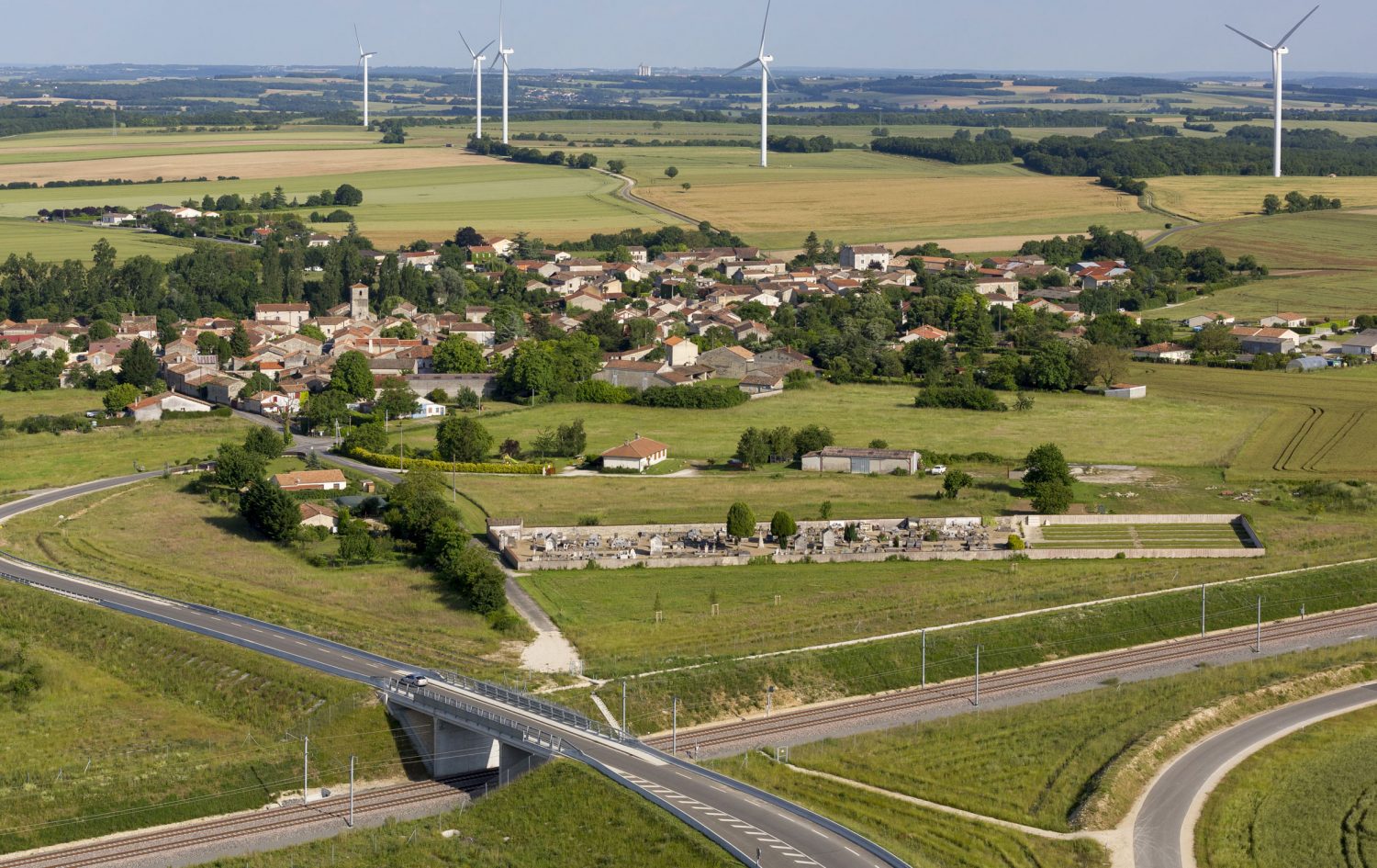
Drones equipped with high-resolution cameras and advanced sensors have opened new horizons for environmental assessment through aerial surveys and mapping. They offer a cost-effective and rapid alternative to traditional methods, such as satellite imagery or ground surveys.
With drones, researchers can effortlessly capture detailed images and videos of vast landscapes, mapping vegetation patterns, water bodies, and land-use changes. These data-rich maps provide crucial insights into ecosystem health, habitat fragmentation, and even the impact of climate change.
Biodiversity Monitoring
Conserving biodiversity is a global priority, and drones are emerging as indispensable tools for monitoring and studying various species and their habitats. Equipped with thermal cameras, multispectral sensors, and acoustic devices, drones can collect extensive data on wildlife populations, migration patterns, and behavior.
For example, thermal imaging can help identify animal populations in dense vegetation or track nocturnal species, while multispectral sensors reveal plant health indicators. Drones also reduce disturbances caused by human presence, allowing researchers to observe animals in their natural habitats, leading to more accurate and comprehensive assessments.

.jpg)

Environmental Impact Assessments
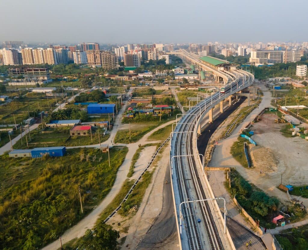
Before initiating large-scale development projects, understanding their potential impact on the environment is crucial. Drones streamline the process of environmental impact assessments (EIAs) by providing real-time, high-resolution imagery and data. They enable project managers and environmental consultants to monitor construction sites, assess vegetation clearance, and identify potential risks to sensitive ecosystems.
Drones equipped with LiDAR sensors can generate detailed 3D models of the terrain, aiding in flood risk assessments, soil erosion analysis, and coastal zone monitoring.

Precision Agriculture
Drones have transformed agriculture practices, promoting sustainable and efficient farming techniques. In environmental assessments, they play a significant role in evaluating soil conditions, crop health, and pesticide application.
Equipped with multispectral and hyperspectral sensors, drones can capture detailed data on plant stress levels, nutrient deficiencies, and irrigation needs. This information empowers farmers to optimize resource usage, reduce chemical inputs, and mitigate environmental impact, ultimately leading to more sustainable farming practices.

Disaster Response and Environmental Monitoring
During natural disasters or environmental crises, drones offer rapid and effective responses. They can quickly assess the extent of damage caused by events like wildfires, hurricanes, or oil spills.
Drones equipped with gas sensors can detect air pollutants and monitor water quality in affected areas. Such real-time data enables emergency response teams to prioritize rescue operations, plan recovery efforts, and mitigate further damage.

Conclusion: rethinking the bond between engineering and the environment
Drones have ushered in a new era of environmental assessment, revolutionizing our ability to understand and protect our planet. Through aerial surveys, biodiversity monitoring, impact assessments, precision agriculture, and disaster response, drones offer unprecedented access to data that was previously challenging to obtain.
As technology advances and regulations evolve, the potential for drones in environmental assessment will only continue to expand. Harnessing their power responsibly and ethically, we can ensure a brighter future for our environment and foster sustainable practices for generations to come.
Thank you for reading the first part IN OUR series!
Stay tuned for further articles in 2024!
Consult the Drones page under our Digital Solutions section to learn more.