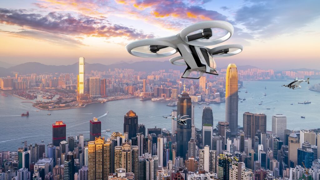
The rapid advancements in artificial intelligence (AI) and unmanned aerial vehicles (UAVs), commonly known as drones, have revolutionized various industries. Among the many applications of this powerful combination is the analysis of drone data using AI algorithms. This synergistic approach has opened up new frontiers for collecting, processing, and deriving valuable insights from aerial data. In this post, we will explore how AI is being used to analyze drone data, its benefits, and its impact on various sectors.
Enhanced Data collection
Drones equipped with high-resolution cameras and other sensors can capture vast amounts of aerial data. However, extracting meaningful information from this data manually can be a daunting and time-consuming task. AI algorithms come to the rescue by automating the data processing and analysis, making it easier to collect relevant information from drone imagery and sensor data.
Efficient Object Detection and Recognition
AI-powered computer vision algorithms excel at detecting and recognizing objects within drone imagery. From infrastructure assessment and land surveying to environmental monitoring and disaster management, AI can identify and classify various objects and features with exceptional accuracy. Whether it’s counting trees in a forest or detecting structural defects in buildings, AI can swiftly process vast datasets, providing reliable insights in real-time.

Precision Agriculture
The integration of AI and drone technology has brought significant advancements to the field of precision agriculture. Drones equipped with multispectral or hyperspectral cameras can capture high-resolution images of crops, enabling farmers to monitor their health and optimize resource allocation. AI algorithms can analyze this data to identify plant diseases, assess nutrient levels, and even predict yield. Such insights empower farmers to make data-driven decisions, resulting in increased efficiency, reduced costs, and improved crop yields.
Urban Planning and Infrastructure Management
AI-based analysis of drone data has immense potential in urban planning and infrastructure management. By analyzing aerial imagery and 3D models created from drone surveys, AI algorithms can assist in urban development, traffic management, and infrastructure planning. From identifying optimal locations for new construction projects to assessing the condition of existing infrastructure, AI helps decision-makers gain valuable insights, streamline operations, and enhance public safety.
Environmental Monitoring and Conservation
The combination of AI and drone technology has proven invaluable in environmental monitoring and conservation efforts. Drones equipped with sensors can collect data on biodiversity, deforestation, and pollution levels. AI algorithms can analyze this data to detect patterns, track wildlife populations, identify illegal activities, and monitor changes in ecosystems. Such insights enable environmental organizations and policymakers to take proactive measures for conservation and sustainable resource management.
Drones & AI: Transforming Data into Powerful Insights
The integration of AI and drone technology has revolutionized data analysis and opened up a world of possibilities in various industries. From precision agriculture and urban planning to environmental monitoring and disaster management, the use of AI algorithms to analyze drone data has accelerated decision-making processes and provided unprecedented insights. As technology continues to evolve, we can expect even more powerful applications and innovations in the field of AI-driven drone data analysis, shaping a smarter and more efficient future for us all.


 Australia
  Brazil
  Chile
Chile  China
China  Columbia
  Denmark
  Egypt
Egypt  France
  India
India  Indonesia
  Ireland
  Italy
Italy  Malaysia
  New Zealand
  Norway
  Panama
  Peru
Peru  Poland
  Portugal
  Saudi Arabia
  Singapore
  Spain
Spain  South Korea
  Sweden
  Taiwan
  Thailand
  Türkiye
  United Kingdom
  United States
  Vietnam