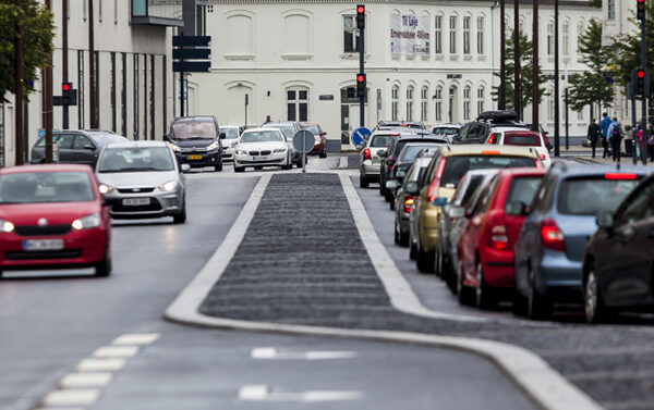
DATA HELPS PREDICT TRAFFIC PATTERNS WHEN A MUNICIPALITY CHANGES THE CITY
A new web-based modeling tool makes it much easier to predict traffic patterns, evaluate different traffic scenarios and thus provide a better basis for decision-making for municipal planners.
SYSTRA has developed the GIS-based screening tool in collaboration with GATE 21 and the municipalities of Høje Taastrup and Guldborgsund. It was developed as a scaling of what was originally a pilot project in the Regional Data Hub and is supported by the Capital Region of Denmark.
The tool incorporates data on the current and future demographic composition of the urban area, choice of access routes, change in public transport patterns, real-time data on the number of cars on the road, among other things.
In addition to focusing on the change in traffic congestion in an urban area, the model can also process the generated noise from traffic and trains, so this can be taken into account when comparing different scenarios.
CAN EASILY BE USED IN OTHER MUNICIPALITIES AND LOCAL AREAS
The tool is suitable as a decision-making tool, and if new conditions arise in the urban planning area, you can quickly read the traffic consequences. It can easily be used in other municipalities and urban areas by incorporating local municipal data.

 Australia
  Brazil
  Canada
  Chile
Chile  China
China  Columbia
  Egypt
Egypt  France
  India
India  Indonesia
  Ireland
  Italy
Italy  Malaysia
  New Zealand
  Norway
  Panama
  Peru
Peru  Poland
  Portugal
  Saudi Arabia
  Singapore
  South Korea
  Spain
Spain  Sweden
  Taiwan
  Thailand
  Türkiye
  United Kingdom
  United States
  Vietnam


