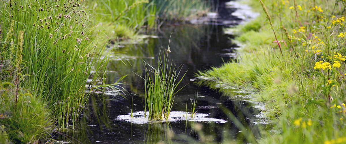
With the Watercourse Reference, the Environmental Protection Agency, municipalities, and other stakeholders have access to precise knowledge about the current geographical conditions in watercourses, thereby providing better opportunities for maintenance and improvement of the condition of the watercourses.
project description
The Watercourse Reference offers the Environmental Protection Agency, municipalities, and other stakeholders the opportunity to subscribe to geographical areas where they will be notified of any changes to watercourses. The Watercourse Reference Database displays watercourse sections as permanent watercourse reference lines, which was not possible before.
Water data shows the way to a better water environment
Registering usable stream-related data (outlets, boreholes, measuring wells) requires that these can be linked to a stream segment. This has so far been a problem when the dataset for the stream network in GeoDanmark has needed to be used.
The Watercourse Reference Database solves this issue by presenting stream segments as permanent stream reference lines that do not change over time – unlike Geodanmark’s stream centerlines. In this way, the Watercourse Reference Database contributes to the quality assurance of the national stream datasets.
SYSTRA (formerly Atkins Denmark) designs, quality assures data, develops, tests, deploys, and maintains the Watercourse Reference Database.
The database retrieves data from the Geodata Bank and exposes data to various actor systems, primarily based on system-to-system interfaces. The system operates ‘autonomously’ and responds to changes in data and to external systems’ “requests”.


 Australia
  Brazil
  Canada
  Chile
Chile  China
China  Columbia
  Egypt
Egypt  France
  India
India  Indonesia
  Ireland
  Italy
Italy  Malaysia
  New Zealand
  Norway
  Panama
  Peru
Peru  Poland
  Portugal
  Saudi Arabia
  Singapore
  South Korea
  Spain
Spain  Sweden
  Taiwan
  Thailand
  Türkiye
  United Kingdom
  United States
  Vietnam