
 Australia
  Brazil
  Canada
  Chile
Chile  China
China  Columbia
  France
  India
India  Indonesia
  Ireland
  Italy
Italy  Malaysia
  New Zealand
  Norway
  Panama
  Peru
Peru  Poland
  Portugal
  Saudi Arabia
  Singapore
  South Korea
  Spain
Spain  Sweden
  Taiwan
  Thailand
  Türkiye
  United Kingdom
  United States
  Vietnam
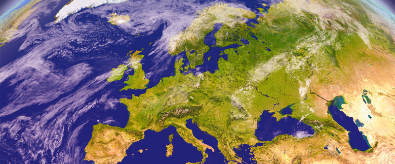
Copernicus is Europe’s Earth observation system, monitoring our planet and its environment for the benefit of all European citizens. SYSTRA contributes with GIS analysis support.
project description
The European Environment Agency (EEA) is responsible for implementing the pan-European and local components of the Copernicus Land Monitoring Service (CLMS). The program ensures a long-term, coordinated collection of various types of data on the state of the Earth.
FREE ACCESS TO SATELLITE DATA
As part of the program, satellite data is collected combined with data from monitoring equipment on land and at sea. The processed data provides reliable and up-to-date information on land, sea, atmosphere, climate change, emergency management, and security. The information is made freely available to various services, public authorities, and other international organizations, ultimately for improving the quality of life for Europe’s citizens.
From SYSTRA’s side, we work with the Copernicus product catalog focusing on the maintenance of high-resolution image datasets as well as map content on the Copernicus land portal. The data products are integrated into the Copernicus Data and Information Access Services (DIAS), providing users with access to the service’s data.